
Before any building work starts, a property survey is usually the first step. A survey helps professionals understand the current condition of a building so plans can be made accurately and safely.
Traditionally, surveys were conducted manually, with surveyors accessing roofs and hard-to-reach areas using ladders or scaffolding. While this method is still used, it can take time and may involve safety risks.
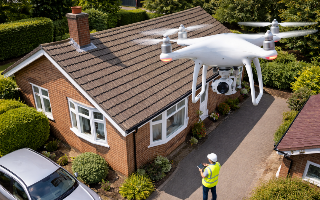
Today, aerial surveys using drones are becoming more common. Drones can quickly capture detailed images and videos of a property from above, often completing the job much faster than a manual survey. Because surveyors stay on the ground, the process is also much safer.
Another benefit of aerial surveys is that the photos and videos can be shared and reviewed later. This makes it easier for homeowners, designers, and builders to clearly see the condition of the property and discuss any issues before work begins.
Which Is Better?
For many homes, an aerial survey offers a quicker, safer, and more efficient way to gather information. Manual surveys may still be needed in some situations, but drones are now a valuable tool for getting a clear picture of a property with minimal disruption.